Country: Finland
 Visit website
 Visit social media
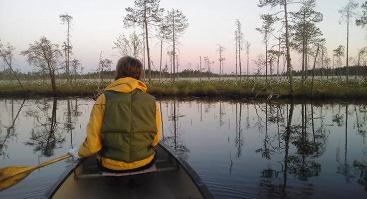
Rokua UNESCO Global Geopark is situated in Northern Finland, about 200 km south of the Arctic Circle between the cities of Oulu and Kajaani.
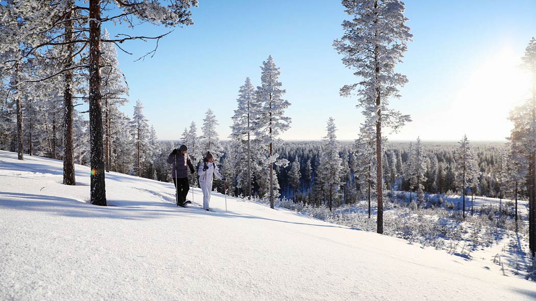
The UNESCO Global Geopark geosites tell the story of the gradual development of the terrain from below a kilometer-thick ice mass to the deep bottom of the ancient Baltic Sea and further via an island and shore stage to become the present inland area. The UNESCO Global Geopark includes a number of impressive bedrock sites, which are used as examples of the main development stages of the Fennoscandian bedrock area. In addition, the area has in Finnish conditions an exceptionally diverse and high quality range of landscape forms that arose during the time of the ancient continental ice sheet and its melting stage as well as during the uplift process that followed it. The landscape consists of a changing, varied mosaic of thousands of geological formations, including drumlins, hummocky moraines, terminal moraines, esker ridges, kettle holes, ancient shorelines, dunes, ravines and bogs.
The geological story of the birth of the Rokua Geopark area has also shaped the soil and climate of the region, making it ideal for the production of locally grown food. Today the geopark produces unique local food, “Geofood”, which is closely linked to the regions geological heritage. The geological heritage and agricultural heritage of the geopark region are thus seamlessly combined in Geofood products.