Country: Portugal
 Visit website
 Visit social media
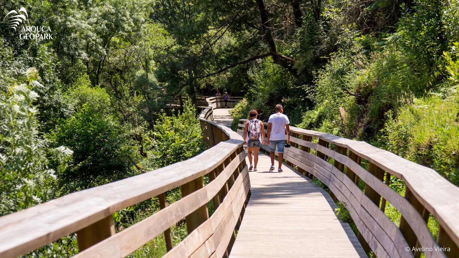
The Arouca UNESCO Global Geopark is located in northern Portugal and coincides with the area of the Arouca Municipality. This territory is located on the western border of the north sub-plateau of the Iberian Peninsula, and is characterized by mountains carved by narrow valleys. The average altitudes range from 200 to 600 m but exceeds 1000 m in Freita (1100 m) and Montemuro (1222 m) mountains.
The Arouca UNESCO Global Geopark is renowned for its exceptional geological heritage of international significance, with 41 geosites. Rocks that outcrop in this region tell stories of the ancient seas that bordered the supercontinent Gondwana 520 to 420 million year (Ma) ago and chronicle the formation of the next supercontinent called Pangea that formed 250 Ma ago.
The geodiversity is present in the landscapes of the Arouca Geopark, which are marked by high mountains and carved by clear rivers that open ways through embedded valleys. These landscapes are the cradle for all the existing biodiversity in this territory. The 41 listed geosites in this classified territory are locals of geological interest that represent the existing geodiversity and have a high educational, tourist and/or scientific level.