Country: Canada
 Visit website
 Visit social media
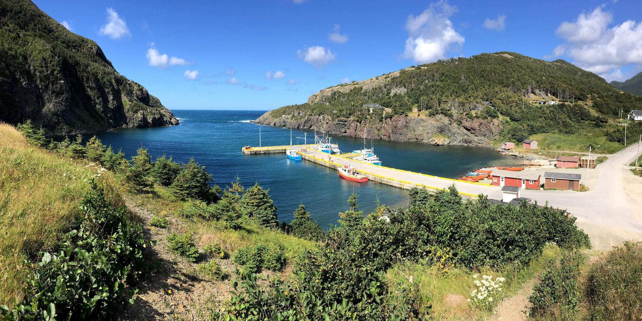
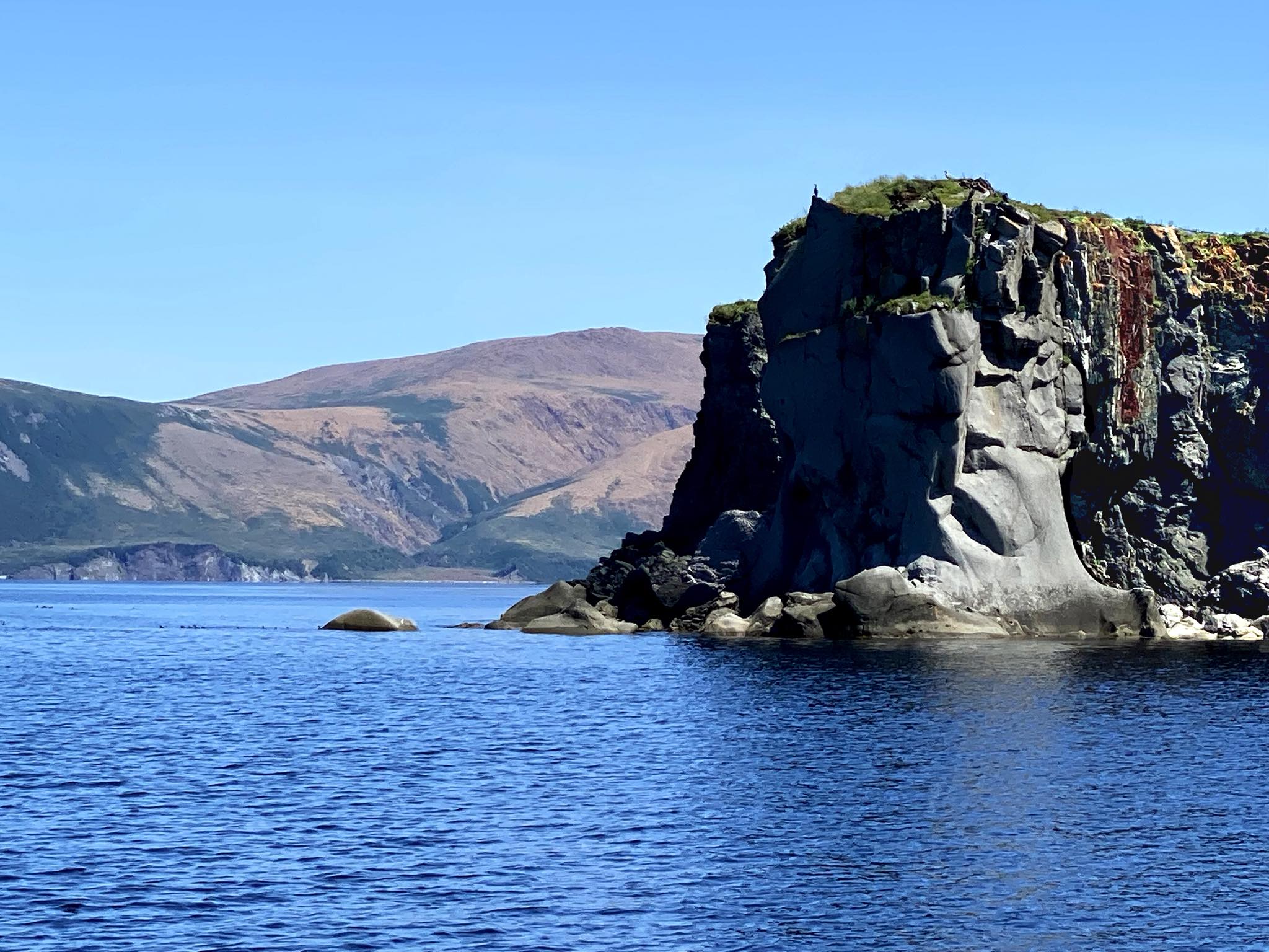
Cabox is Newfoundland’s highest point and an Aspiring UNESCO Global Geopark. The name is derived from a phonetic for “cabos”, the Portuguese and Spanish plural for “cabo”, the English “cape”. Portuguese explorer Gaspar Corte Real may have been the first European since the Norse (as indicated by the 16th century Skálholt Map) to see the collection of capes and peaks surrounding the Bay of Islands Mountains, when in 1501 after discovering a strait between the “New Founde Land” and Cape Breton, he sent his brother Miguel and two of three caravels home to the Azores before heading north along Newfoundland’s west coast to the previously discovered Strait of Belle Isle. Cabox Aspiring Geopark’s unique geological record spans the closing of the proto-Atlantic Iapetus Ocean and formation of the Appalachian Mountains. From the Little Port Island Arc and Bay of Islands Ophiolite Complex to the Transported Continental Margin and Ancient Continental Slope of the Humber Arm Allochthon, the region exhibits both the geological and academic story of plate tectonics.
Aspiring GEOfood
Cabox is part of the aspiring GEOfood group within GEOfood: territories which aren’t recognised as UNESCO Geoparks yet, but they would like to benefits from the established criteria and values for local producers and restaurants to straighten the local awareness on geological heritage through food experience.